Planning a motorbike trip in northern Vietnam this winter? You might want to pack an extra layer—it gets surprisingly cold up in the mountains!
The winter chill can take you by surprise, and riding a motorbike through the cold, with the added weight of wind, fog, and occasional rain, can be overwhelming. After a long ride, arriving at a homestay with only basic amenities, no heating, and sometimes just cold water adds another layer of challenge.
So, why brave the winter in northern Vietnam? The answer is simple: fewer crowds and plenty of adventure!
If you’re ready for an exciting experience, read on for our 5-day winter itinerary through northern Vietnam, complete with tips to stay warm and get the most out of your motorbike ride through these beautiful mountains.


.png)
Note: This itinerary is also a great option for September, when the harvest season transforms Hoang Su Phi's rice paddies into one of Vietnam’s most impressive landscapes.
Vietnam in Winter
Though located in Southeast Asia, Vietnam experiences a unique mix of climates, from tropical warmth to winter wonderlands in certain regions.
Winter in northern Vietnam can get quite chilly, with temperatures ranging from 10°C to 15°C between December and February. In higher-altitude regions like Ha Giang, Sapa and Cao Bang, the temperatures can dip even lower, sometimes approaching freezing. Frost is more common in these areas, while snow occasionally blankets Fansipan, Vietnam’s highest mountain, on the coldest days.

Read: Best Time to Visit Vietnam
.webp)
Winter Motorbike Route Map
Here’s a quick map of the 5-day winter motorbike route in Vietnam. Some routes can be confusing because names vary on Google, so check the Google My Maps for more details.
5-Day North Vietnam Motorbike Route
Braving Vietnam’s winter chill is well worth it with this motorbike itinerary. The routes are short enough to keep the cold winds manageable, yet they still deliver an unforgettable experience. Even in winter, northern Vietnam offers some of the most breathtaking views you'll ever see.
This itinerary includes a hike to Ha Giang’s second-highest peak, stays at local homestays, and a visit to Vietnam’s most famous Sunday market.
Itinerary Overview:
- Day 1: Lao Cai city to Bac Ha
- Day 2: Bac Ha to Ban Phung
- Day 3: Ban Phung to Ho Thau
- Day 4: Ho Thau to Nam Hong
- Day 5: Nam Hong to Lam Thuong
Want to drive in the summer? We have a variety of itineraries, including the popular Ha Giang Loop, the stunning landscapes of Cao Bang, and the beautiful northwest.
.webp)
Departure from Hanoi
If you have your own motorbike, you can start your journey in Hanoi and head north to Lao Cai city, about 186 kilometers away. (This option adds two days to your itinerary.) If you don’t have a bike, consider taking a train or a limousine van to Lao Cai, where you can rent a motorbike for the trip ahead.

Book your transfer to Lao Cai from Hanoi here
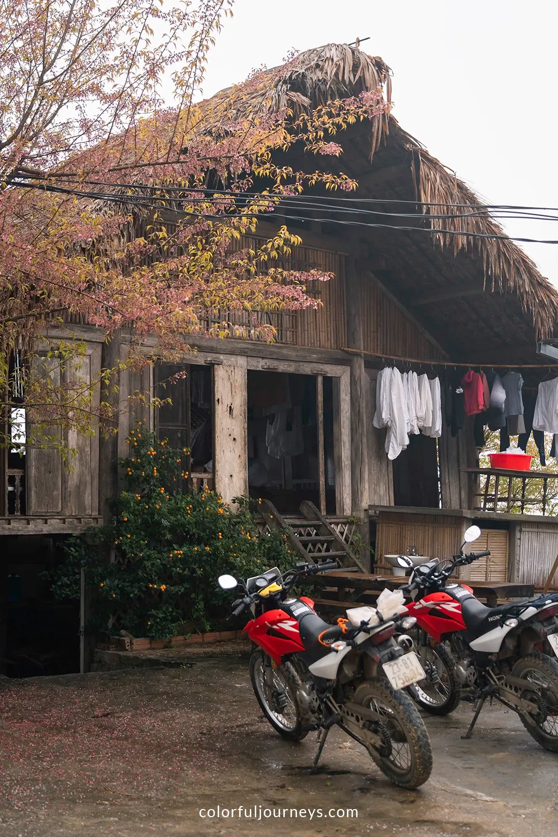
For a reliable motorbike rental in Lao Cai, reach out to Mr. Diep at +84 912 435 006. He offers Honda XR bikes, ideal for Vietnamese mountain roads, for 500,000vnd ($20) per day.
.webp)
Day 1: Lao Cai City to Bac Ha
Driving Distance: 65 kilometers
Route: Lao Cai city - Bac Ngam - Coc Dao - Bac Ha
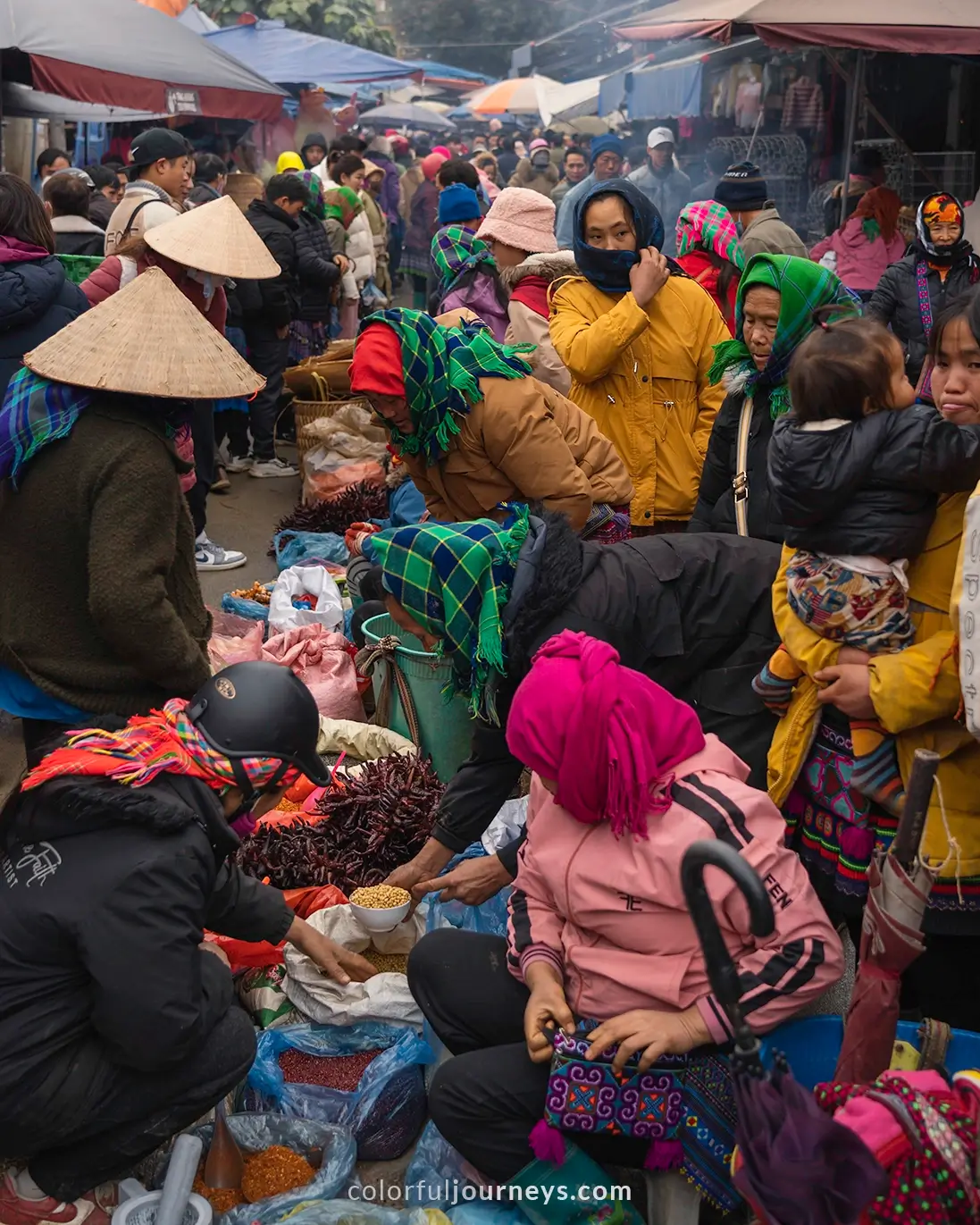
Today’s route offers a short ride from Lao Cai city to Bac Ha town, where every Sunday morning the town comes to life with one of the biggest and most colorful markets in the area.
.webp)
From Lao Cai city, follow the national highway (QL70), passing through small hills and rice paddies along the way. Once you reach Bac Ngam, take the provincial road (DT153) straight to Bac Ha. The roads are paved and relatively flat until you reach Coc Dao, where the path inclines and winds its way up the mountain until you reach Bac Ha town.
Tip: To catch the vibrant Bac Ha Market, make sure to visit on a Sunday. The market is most lively in the early morning, so consider arriving Saturday afternoon and staying overnight.
.webp)
We stayed at Ngan Nga Hotel, which is conveniently located right next to the market. The hotel features a restaurant and has heaters, a definite plus during the winter!

Book Ngan Nga Bac Ha Hotel here
.webp)
Day 2: Bac Ha to Ban Phung
Driving Distance: 70 kilometers
Route: Bac Ha - Xin Man - Ban Phung
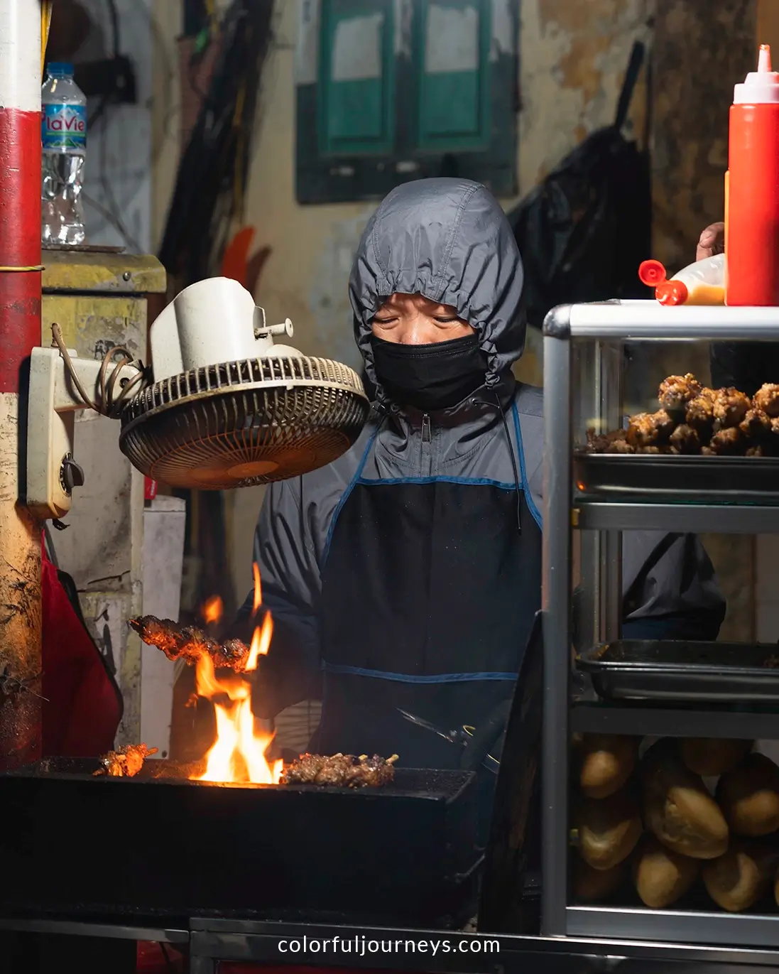
Spend your morning exploring the vibrant Bac Ha Market. In winter, the market tends to get busier a bit later, so you can plan your visit for after 7am. Grab your breakfast at the market and consider trying the traditional H’mong specialty, thang co (horse meat soup), or opt for a simple bowl of pho.

Read More: Visit the Bac Ha Sunday Market
.webp)
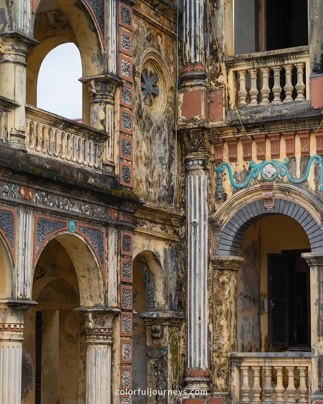
Before you leave Bac Ha town, be sure to visit the Hoang A Tuong Palace, located just 1.5 kilometers from the market. Wander through its well-preserved rooms, adorned with original furniture, and take in the stunning views from its ramparts.
Background: Built in 1914 and completed in 1921 by Hoang Yen Chao (local king), the palace served as both his residence and a symbol of his power. Its architecture features an Asian-European style, characterized by a closed rectangular layout.
.webp)
From Bac Ha, follow DT153 toward Xin Man, cross the bridge, and take DT178 along the Chay River until you reach Suoi Do Bridge. From there, head north onto the smaller road to Ban Phung village.
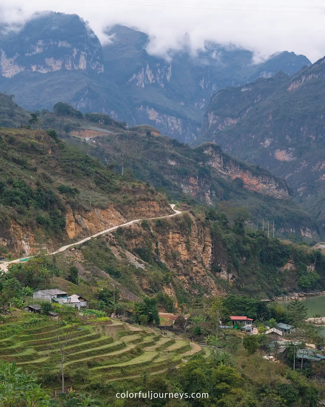
This small road is one of the highlights of the trip, as it hugs the cliffs and winds through mountains adorned with rice terraces, offering breathtaking views at every twist and turn.
.webp)
Stay at Chi Tai Homestay, where the friendly host provides a welcoming and comfortable experience, making it an ideal spot for the night. Perched over 1,000 meters above sea level, the village is often wrapped in fog and mist during the night and early morning.
This was the chilliest part of our trip, with strong winds and a cold shower, but a bit of rice wine did the trick to keep us warm through the night.
To book your stay at Chi Tai Homestay, contact the host at +84 973 043 277.
.webp)
Day 3: Ban Phung to Ho Thau
Driving Distance: 109 kilometers
Route: Ban Phung - Vinh Quang - Ban Nhung - Ho Thau
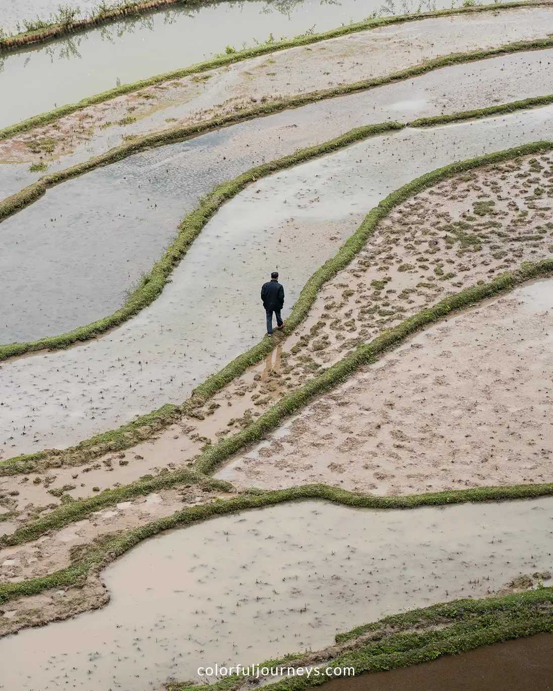
Today's ride takes you through Hoang Su Phi district, home to some of the most spectacular rice paddies in Vietnam. Enjoy scenic detours along winding mountain roads and explore charming villages along the way.
.webp)
In the morning, begin your day with breakfast while enjoying breathtaking views from Ban Phung village. With a bit of luck, you might see the clouds lift to reveal the vast terraced mountains below.
.webp)
After breakfast, ride back to Suoi Do Bridge and head to Vinh Quang town where you can stop for lunch. From there, follow the river and head east onto a smaller road after crossing Bridge No. 5. This route winds through the mountains on narrow paved paths, offering another great ride with stunning views of terraced fields.
.webp)
You’ll pass through Ta Su Choong and Ban Peo villages before rejoining DT177 to Nam Dich commune. From there, continue along 197D through Nam Son village, making your way up to Ho Thau village, where you’ll spend the night. (For the exact route, refer to our Google My Maps.)
Note: Accommodation options in the area are limited, and during winter, they might not expect many guests. It’s a good idea to book in advance so your host can prepare for your arrival and stock up on fresh ingredients from the market for your meals.
.webp)
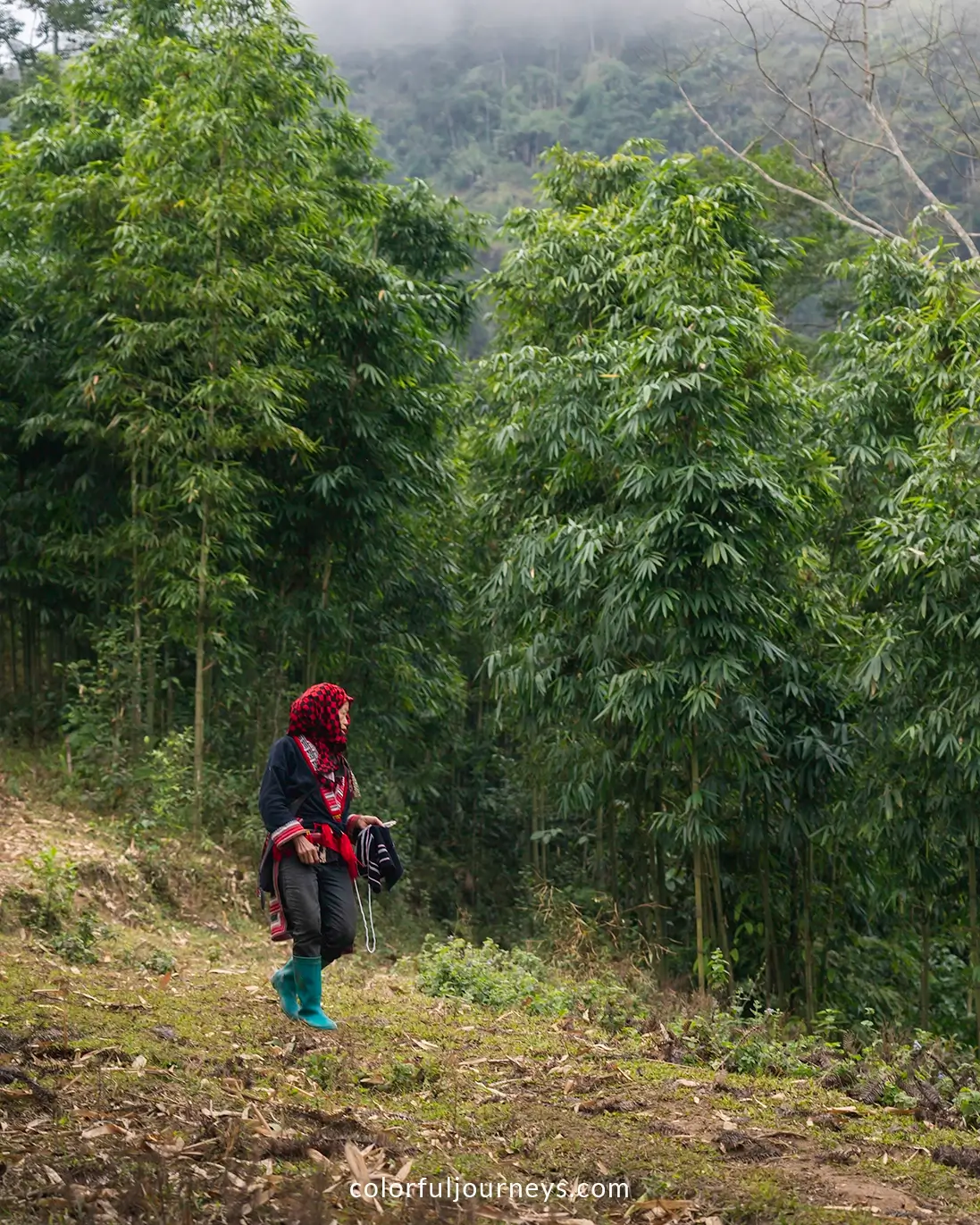
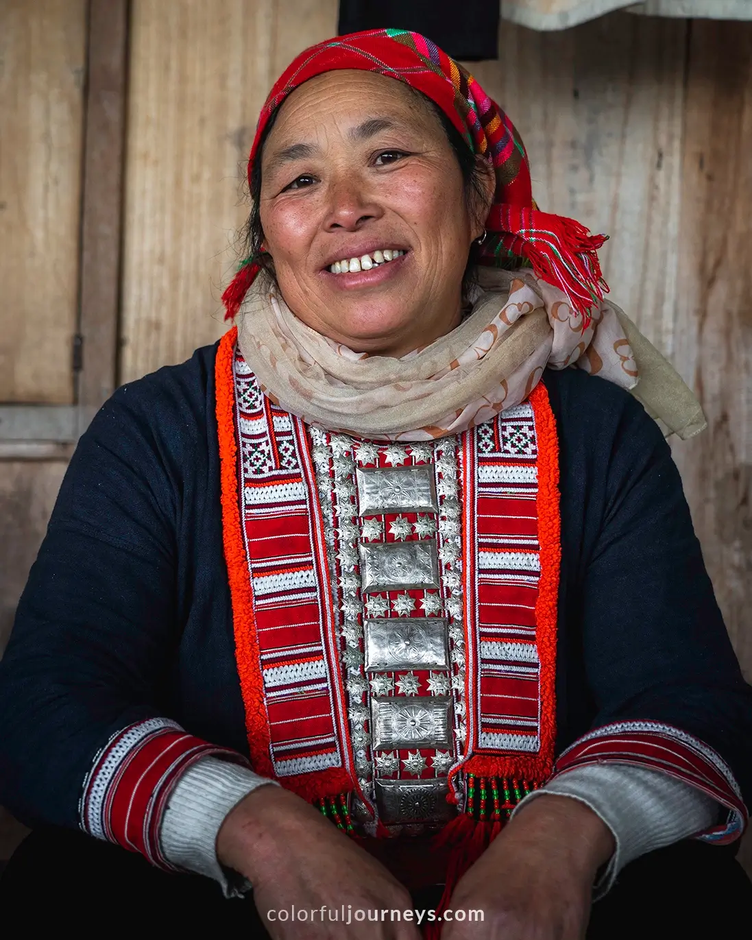
We stayed at Chan Mui Homestay, a traditional wooden house run by a warm and welcoming Red Dao family. They treated us to delicious home-cooked meals, and the cozy beds, separated by curtains, added just the right touch of comfort. Even in winter, the views were stunning.
To book Chan Mui Homestay, message the host at +84 355 891 217.
Day 4: Ho Thau to Nam Hong
Driving Distance: 40 kilometers
Route: Ho Thau - Nam Khoa - Nam Hong
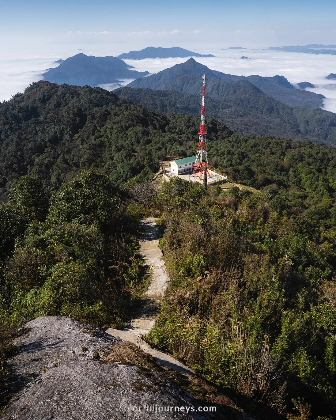
Begin your fourth day with a detour to Chieu Lau Thi for a short hike to the peak. It’s a 12-kilometer ride from Ho Thau village to the trek’s starting point, with zigzagging roads along the way.
.webp)
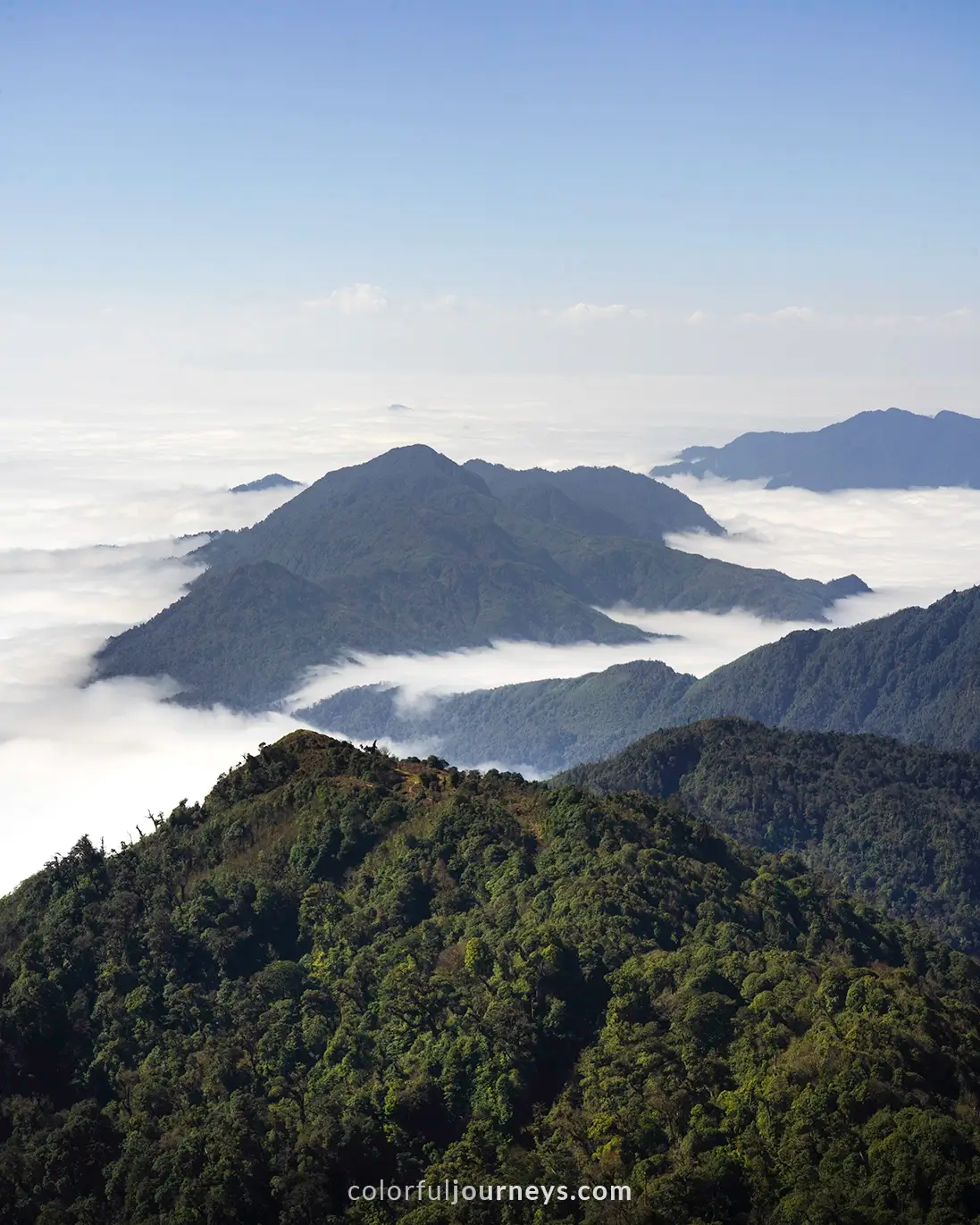
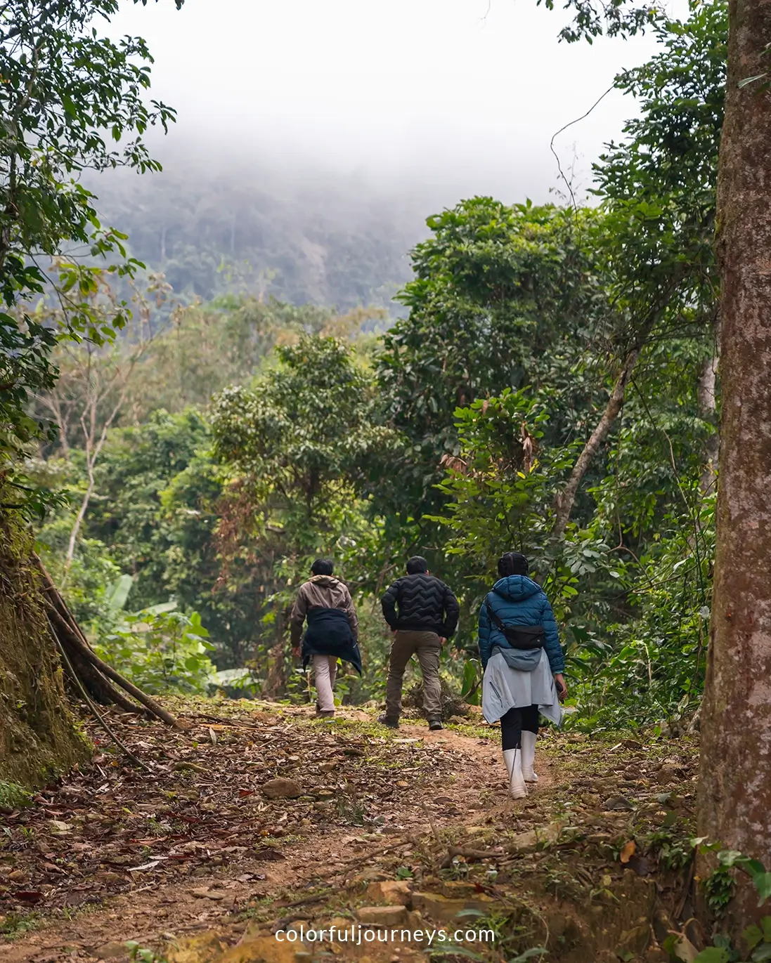
In winter, thick clouds can limit visibility, so drive carefully until you rise above the sea of clouds. The hike is short but steep, and the thin air adds to the challenge.
Background: Chieu Lau Thi, also known as Kieu Lieu Ti, stands at 2,402 meters above sea level, making it the second-highest mountain in Ha Giang province, just after Tay Con Linh peak (2,419 meters).
From Ho Thau village, drive back to Nam Son and take the mountain road heading south toward Nam Khoa village.
Cross the small bridge just north of the market with a sign for Di Thuong Nguyen. This route won’t show up on Google Maps, but just follow the narrow road as it winds through scenic paths hugging rice terraces and passing through small communities in Hoang Su Phi. (For the exact route, check our Google My Maps.)
.webp)
Continue until you reach Mam Xoi Homestay, where you can pause at the viewpoint overlooking the expansive terraced mountains. Then, keep driving towards Nam Hong village, which enjoys a prime location perched above the rice terraces.
.webp)
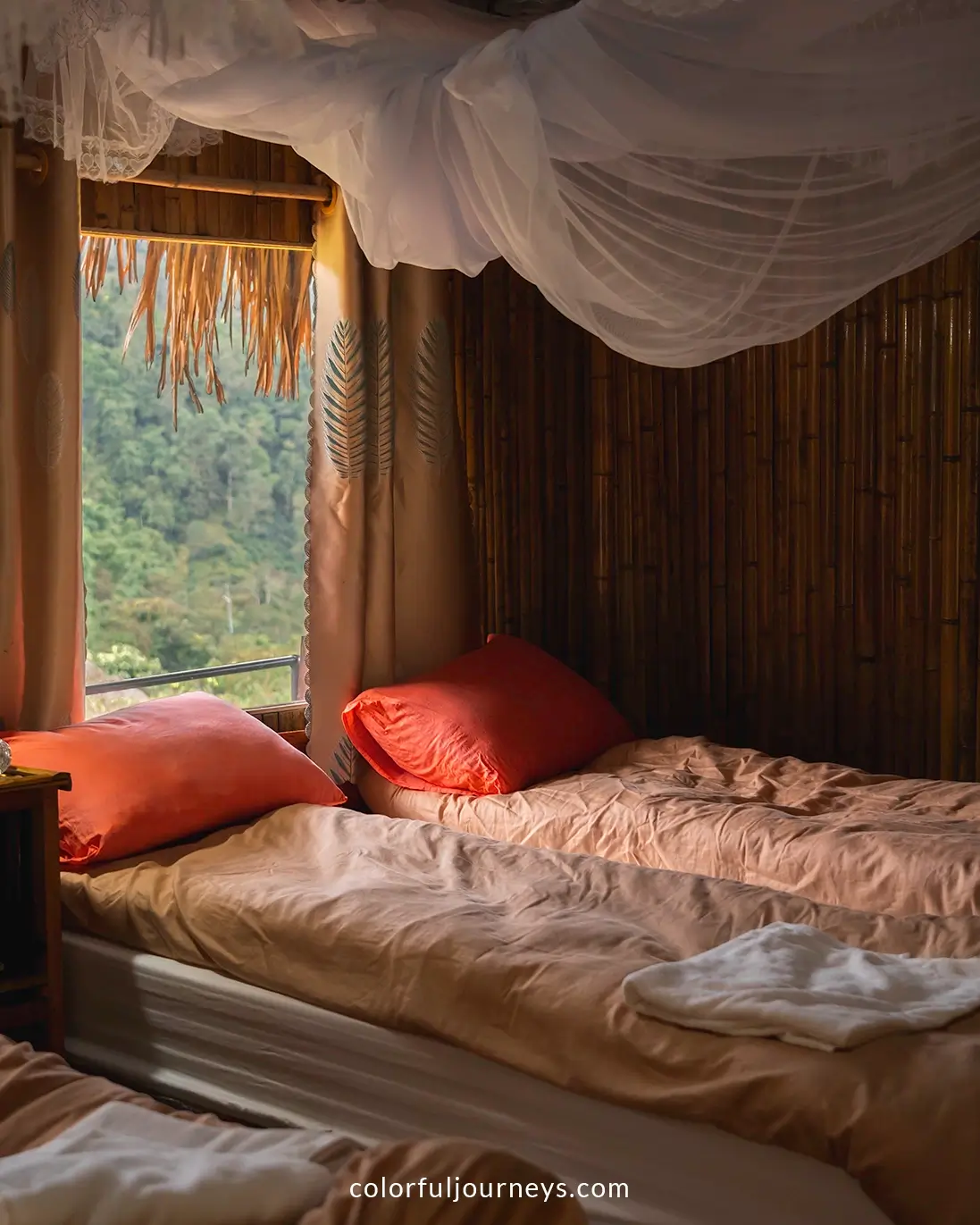
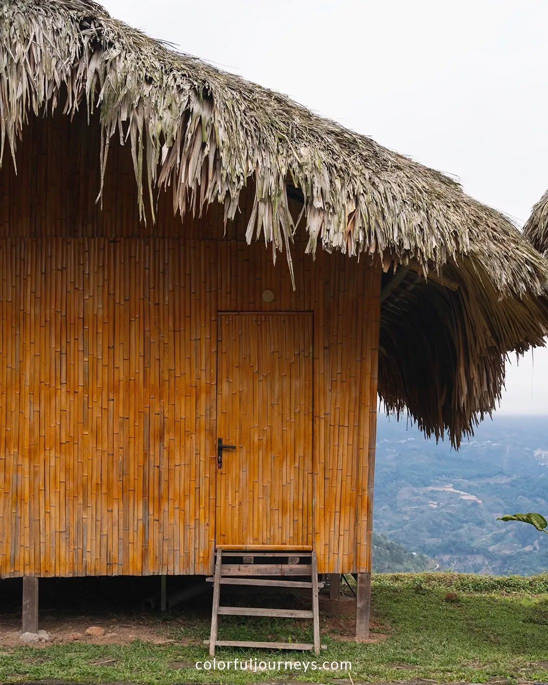
During our trip, we stayed at Binh Minh Homestay, featuring bamboo bungalows with modern amenities and the most comfortable beds we’d had on the trip. Each bungalow has a balcony with stunning views of the mountains and rice terraces.

Book your stay at Binh Minh Homestay here
Note: The homestay fills up quickly during harvest season, so be sure to book early if you plan to visit between September and November.
.webp)
When you arrive, take some time to walk around the village, passing rice fields and charming homestays. It's a great way to stretch your legs after the ride.
.webp)
Day 5: Nam Hong to Lam Thuong
Driving Distance: 112 kilometers
Route: Nam Hong - Xuan Minh - Lam Thuong
The route on your final day combines peaceful mountain roads with a stretch of highway, leading to Lam Thuong Valley, where you'll stay at one of our favorite homestays in Vietnam.
Have more time? If you want to keep going, skip Lam Thuong and head to Ha Giang city, the ideal starting point for the Ha Giang Loop. The best weather is from September to November, but winter offers fewer crowds as Ha Giang grows in popularity.
.webp)
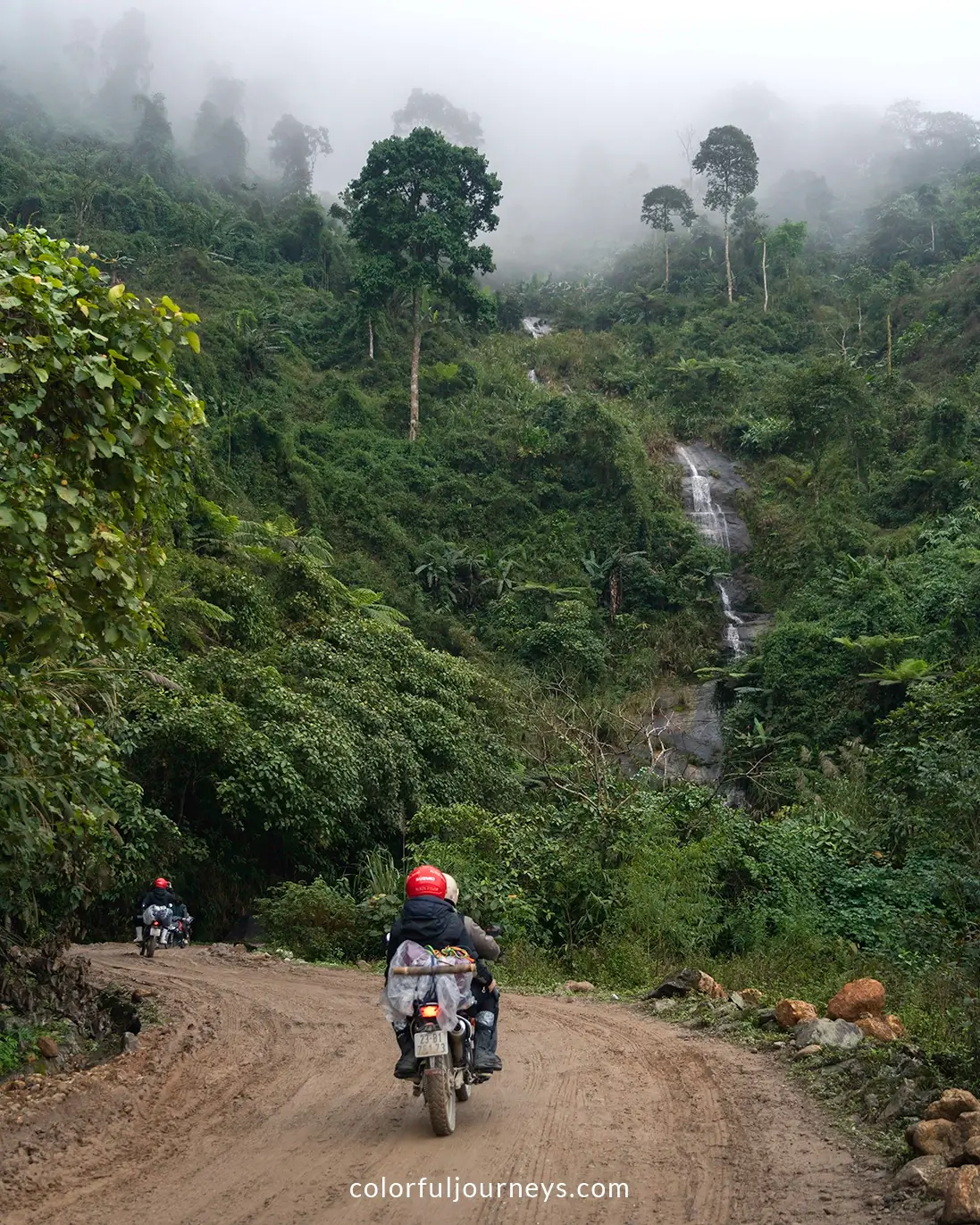
From Nam Hong village, take the quieter 197E road toward Xuan Minh. During our visit, we noticed some road construction, which should make the drive even smoother in the future. The mountain pass is a scenic route, with winding roads, waterfalls, and lush landscapes to enjoy.
.webp)
When you reach the national highway (QL 297), head south to Binh Long. From there, continue west on DT 183. When you reach the gas station, take the small road west toward Lam Thuong Valley. This stretch of the journey winds through beautiful mountain roads, rice fields, and small villages with traditional stilt houses. (To see the exact path, visit this Google My Maps.)
.webp)
We stayed at Xoi Farmstay, nestled among rice fields and mountains. It’s one of the most comfortable places we've stayed, offering dorm rooms in a traditional Tay stilt house as well as modern chalets with private bathrooms and seating areas below. The host, from the Tay ethnic minority, can also prepare a herbal bath—the perfect way to end your motorbike trip.

Book your stay at Xoi Farmstay here
.webp)
Back to Lao Cai or Hanoi
From Lam Thuong, head back to Lao Cai city to return your rented motorbike. If you’re riding your own, you can continue down to Hanoi to wrap up your trip.
Looking for things to do in Hanoi? Check out our 2-day Hanoi itinerary covering all the highlights plus some of our personal favorites in the Old Quarter.
How to Prepare your Motorbike Trip
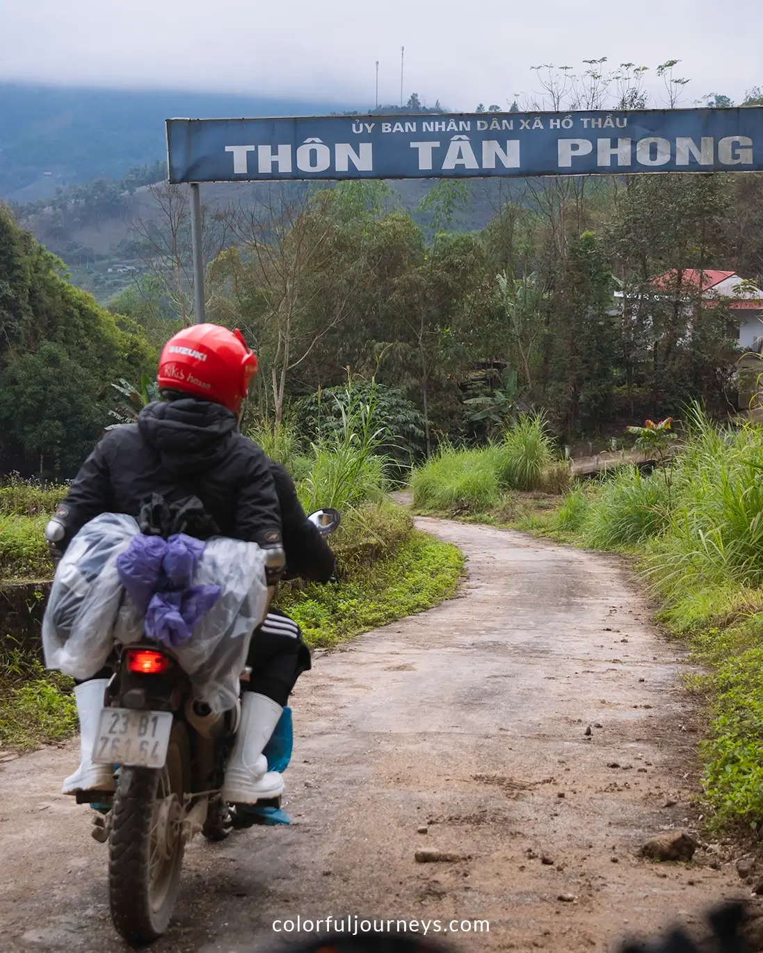
Tackling Vietnam’s mountains in winter is no small feat and being prepared for the cold is essential for an enjoyable experience. Expect some rain and fog during your drive, especially in the mornings and late evenings.
Top Tips:
- Plan your itinerary ahead of time
- Book accommodations in advance when possible
- Keep daily drives short and manageable
- Start your rides later in the morning
- Avoid driving after dark
- Pack appropriately for the weather and terrain
.webp)
Essential Packing List:
- High-quality rain jacket and pants
- Rain boots or waterproof shoe covers
- Water-resistant gloves
- Head scarf or face mask
- Warm down jacket
- Waterproof bag cover
Note: You’ll often find plastic disposable raincoats for sale, but these won’t do the job in the winter. Be sure to get a proper rain suit instead.
.webp)
Guided Tour or Solo?
Our 5-day motorbike itinerary is easy to manage on your own, with most of the route following main roads and minimal off-roading. If you’re an experienced rider with a valid license, this trip can be a great solo adventure.
However, for added convenience and safety, we highly recommend booking a guided tour. Local guides know the roads inside out, handle all the logistics, and ensure you have a smooth, enjoyable, and worry-free experience.
.webp)
We’ve taken multiple motorbike trips across northern Vietnam, from the Ha Giang Loop to the Cao Bang region. While we’ve ridden solo many times, we still prefer private guided tours with our local friends from the north.
Book your tour with Hoa at +84 363 534 996 or reach out to him on Facebook.
While this itinerary is a great option, be sure to check with Hoa, who can customize a plan to fit your specific preferences and needs.
The northern region is famous for motorbike adventures in Vietnam but the Mekong Delta also provides a chance to ride through expansive rice fields adorned with beautiful Khmer temples. Plus, the weather remains warm and pleasant in the south throughout the year!
Check out our 4-day Mekong Delta motorbike itinerary, which takes you to some of the best villages in the south for an off-the-beaten-path adventure.
If you have any questions about the northern Vietnam motorbike route, feel free to leave a comment below!
Some links in this Winter Motorbike Itinerary may be affiliate links.
This means that if you make a purchase after clicking on one of our links, we will receive a small commission at no extra cost to you. Please know that by doing so, you are supporting Colorful Journeys in continuing to provide free high quality content to help you in your travels!
.webp)




.jpg)
.jpg)
.webp)
.webp)
.webp)